
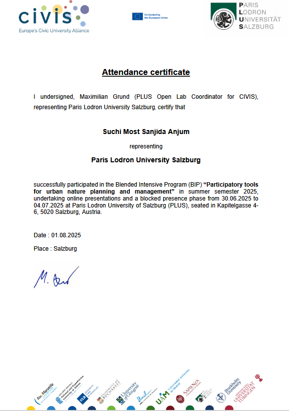
Most Sanjida Anjum Suchi
Urban Planning Researcher
Program Details
- • Format: Blended (Online + Physical)
- • Physical Activity: June 30 – July 4, 2025
- • Location: Salzburg, Austria
- • Type: Intensive Program (BIP)
Host Institution
University of Salzburg
Paris Lodron University
Austria
UNI Park Campus
Blended Intensive Program (BIP 2025)
Theme: Participatory Tools for Urban Nature Planning and Management
Program Overview
The BIP (Blended Intensive Program) titled "Participatory Tools for Urban Nature Planning and Management" was an interdisciplinary academic initiative focused on sustainable urban development through public participation. The program was structured in two parts: initial online classes and a week-long physical activity in Salzburg, Austria, from June 30 to July 4, 2025. The aim was to explore participatory methods and tools for urban nature planning, including GIS-based applications, stakeholder engagement, and collaborative fieldwork.
Program Components
Online Component
- • Urban nature concepts
- • Public participation frameworks
- • Participatory GIS (PPGIS) tools
- • Team collaboration preparation
Physical Activity
- • Lectures by faculty and experts
- • Participatory and geospatial workshops
- • Field visits and excursions
- • Group-based project development
Daily Highlights
Day 1 - Program Kickoff
Welcome orientation, institutional presentations, team assignments, and introduction to participatory GIS tools. First field visits to study areas including Volksgarten, Hans-Donnenberg Park, and NAWI site.
Day 2 - Berchtesgaden Excursion
Educational field trip to Haus der Berge and Königssee, exploring nature conservation in tourism-driven landscapes and sustainable environmental management practices.
Day 3 - Tools & Methods
Landscape analysis methods, Brussels case study presentations, SuperDecisions software training, and field visit to Hellbrunn Palace gardens.
Day 4 - AGIT Conference
Participation in AGIT 2025 Conference on Geoinformatics, poster presentation, and intensive fieldwork at designated project sites including allotment gardens and Natura 2000 areas.
Day 5 - Project Presentations
Final project completion, team presentations of findings and concepts, and program evaluation with faculty feedback sessions.
Learning Outcomes
Skills Developed
- • Participatory urban planning and management techniques
- • Geospatial technologies (GIS, PPGIS) application
- • Stakeholder analysis and community engagement strategies
- • Interdisciplinary teamwork and field-based research methods
- • Critical evaluation of participatory tools in diverse urban settings
- • Multi-criteria decision-making using specialized software
Group Project Outcomes
Our interdisciplinary group developed a comprehensive project on enhancing public participation in urban nature management. The project included mapping urban green spaces using GIS tools, conducting stakeholder analysis and interviews, survey design and public participation assessment, and proposing strategies to improve participatory engagement.
Project Deliverables
- • Digital maps of urban green spaces
- • Social network analyses
- • Stakeholder engagement diagrams
- • Recommendations for future participatory practices
Impact on Professional Development
The BIP Salzburg program provided a dynamic and practical learning experience, blending academic theory with real-world application. The combination of online preparation and immersive field activities enriched my understanding of participatory planning tools and fostered international collaboration among students and faculty. This intensive program enhanced my capabilities in sustainable urban development and equipped me with advanced tools for community-centered planning approaches.